
Map Calibrator
 Ready for some outdoor adventure? Don’t forget to take along an informative map. Map Calibrator is the tool to put customized offline maps, waypoints and routes to your mobile navigation device.
Calibrate own images of maps or retrieve online maps to export them to your GPS device. In advance, draw your routes on the map, set your own waypoints or measure a track’s length.
Features:
- Calibrate own maps by defining a few known points
- Create map slices from large bitmap files
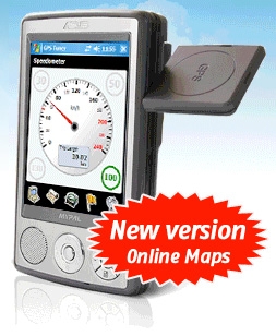
- Access online maps (Google Maps, Open Street Map, TerraServer, etc.)
- Import waypoints, tracks, routes or areas
- Draw your own routes
- Measure distances
- Define waypoints or POI
- One click export of map, waypoints, tracks, routes or areas to your mobile navigation device


0 Comments